Stories of the Susquehanna Valley includes a digital mapping project that aims to interpret and articulate the varying forms of community we find in the Susquehanna River corridor, in maps, videos, and other media. This project draws on scholarly frameworks to also include undergraduate students in digital academic projects, while also engaging community mappers. This digital mapping is multimedia, incorporating GIS, visualization of stories through a combination of imagery and text, and videography ranging from oral history interviews to documentaries. The goal over time is to develop a digital atlas that connects scholarly projects ranging from human history and community studies to natural history, focusing on the river corridor in interactive ways with communities in the region. This is being done through work on geographic segments at the Confluence, on the North Branch, West Branch, and Lower Susquehanna areas of the watershed, and involves collaborations across academic institutions.
Story maps
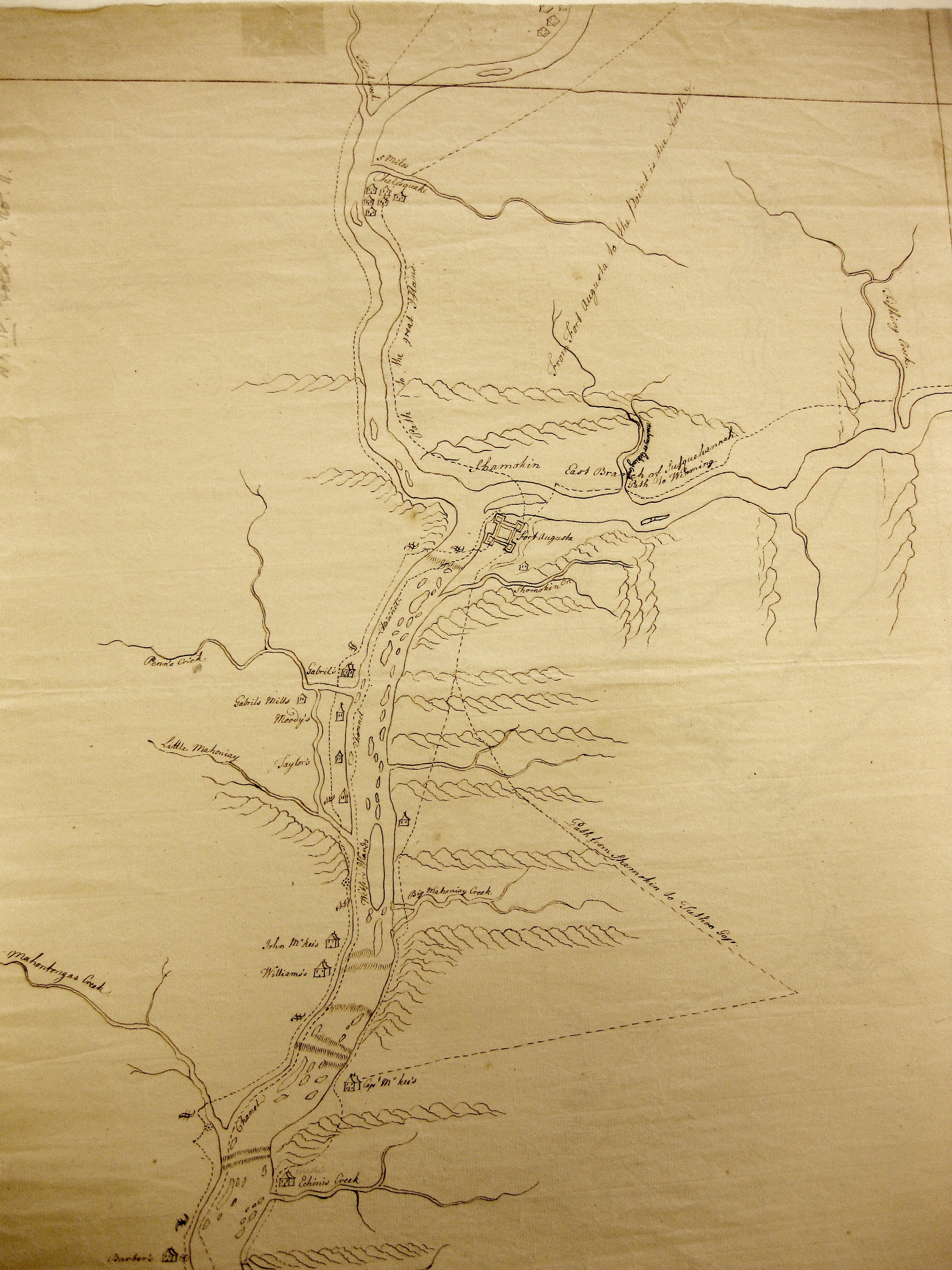
Student and faculty work is often presented in the form of “Story Maps” that use templates provided by ESRI. Here are two examples of student/faculty work. The first one focuses on the Confluence of the West Branch and North Branch of the Susquehanna River at Sunbury and was completed by Steffany Meredyk ’14 with the technical assistance of the GIS team in iTech Janine Glathar and Luyang Ren.
A Confluence of Darkness and Light
This second map was created from the work students and faculty completed over the summer of 2011. This project focused on collecting oral narratives from the people affected by the Marcellus Shale gas boom in Northeastern Pennsylvania.

North Branch
Bucknell students Sam Lauer ’13, Abigail Mills ’13, Courtney Nelson, ’15, and Drew Picketts ’13 among others have worked with Prof. Siewers in mapping the Priestley and Azilum project and also the Coopers and the Headwaters along the North Branch.
New development with ESRI Collector app and Stories of the Susquehanna!

West Branch
Historical maps