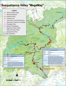
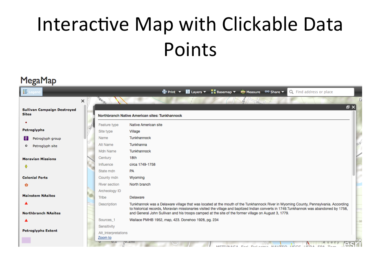
 Over the last four years a team of faculty, students and GIS experts at Bucknell have been working together to compile an interactive, searchable map of the river. The interactive map has clickable data points that reveal important information about the layers of history that lie along the river. The map is still under construction, with data points for the West Branch being added this summer.
The lion’s share of the research and mapping that has gone into building this platform has been achieved with the financial support from Bucknell University (especially the Undergraduate Research and the Presidential Fellows programs) and other agencies (The Conservation Fund, the R.K. Mellon fund, the Luce Foundation, the Chesapeake Conservancy and the Degenstein Foundation). The funds have gone primarily to undergraduates in the form of summer stipends. The use of summers to complete this work has allowed undergraduate students to engage in meaningful, sustained and focused research that has achieved tangible “real world” results; most notably, the 2012 designation of the Susquehanna River as a National Historic Trail by the National Park Service. Students have also worked in the communities up and down the Susquehanna River and witnessed the significance that this mapping work has had to local residents.